JPGLSG1234
Blackhawk
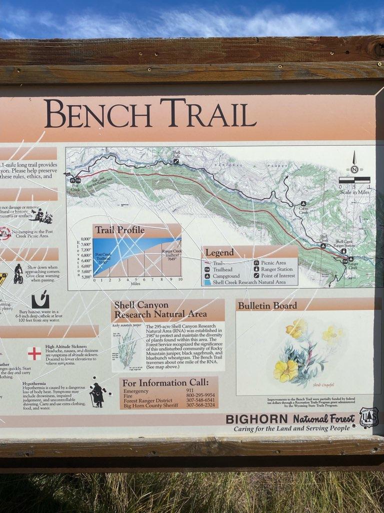
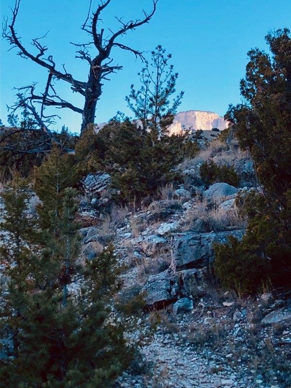
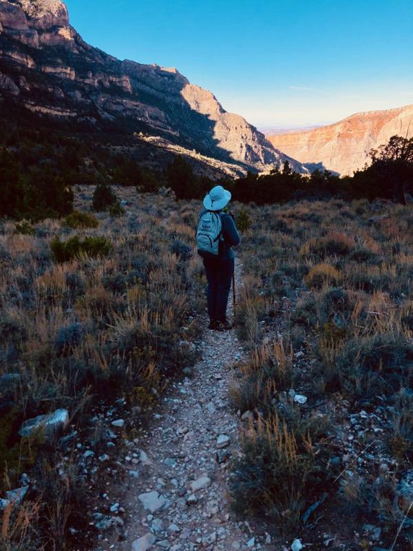
Linda and I did this 10 mile hike back in 2014, we started form the Ranger Creek end and it was all down hill from an altitude of 7649 feet to 5200 feet a piece of cake. This year we started at the 5200 foot level and worked our way up. We made it to the 4 mile mark at 6400 foot level and asked ourselves had we lost our minds. We started very early in the morning but it seemed we'd be doing the 10 mile mark in the middle of the night. Our ride back to the trail head would have long since given up on us and call the rescue squad reporting two crazy old people were lost on the trail. We did the right thing and turned around and enjoyed the trail back.
If any of you are ever in the area the drive between the mountains of the shell canyon is stunning.
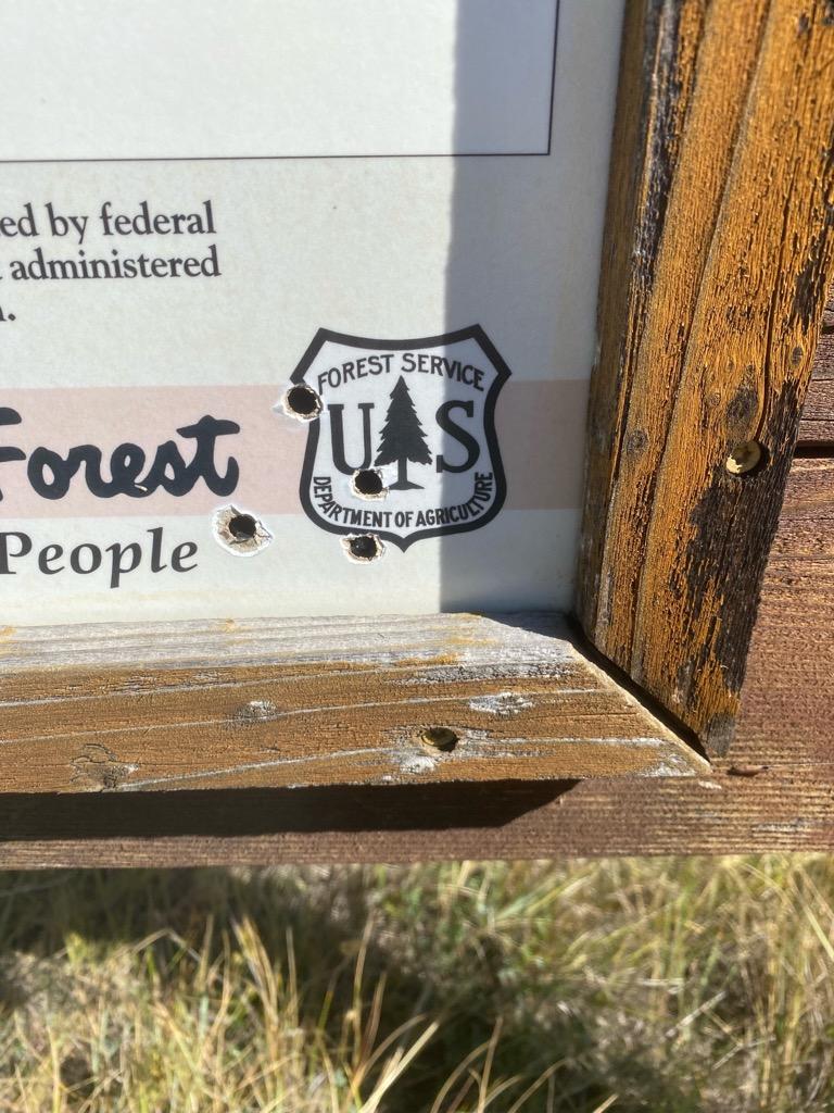
A little side note, I'm never in favor of sign shooting of any kind. Looks like some moron was taking target practice at the trail head sign, look closely at the hypothermia section and the Forest Service D of A.
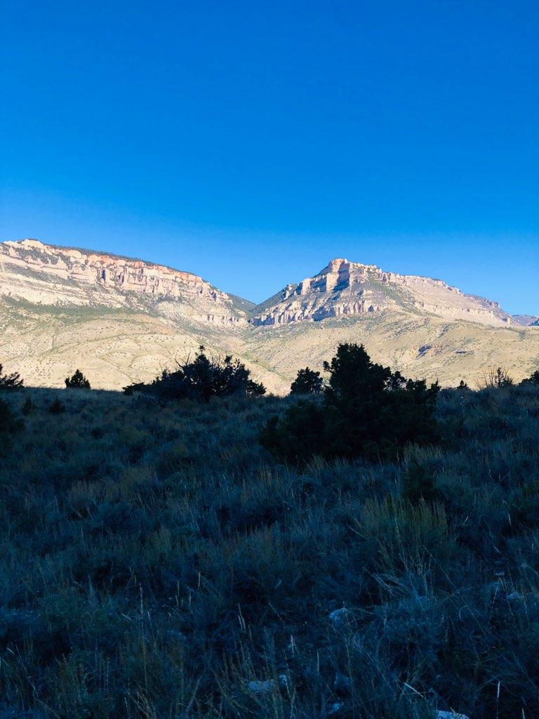
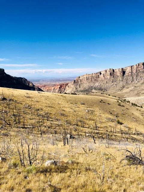
If any of you are ever in the area the drive between the mountains of the shell canyon is stunning.
A little side note, I'm never in favor of sign shooting of any kind. Looks like some moron was taking target practice at the trail head sign, look closely at the hypothermia section and the Forest Service D of A.





![Pampers Sensitive Baby Wipes, Clinically Proven, Fragrance Free, Unscented, Water Based, Hypoallergenic, Multi-Use, Hand Wipes 336 Wipes Total (6X Flip-Top Packs) [Packaging May Vary]](https://m.media-amazon.com/images/I/41KLBHu9CAL._SL500_.jpg)